Madison County Conservation has a 10’ Great Plains no-till drill available to the public for rental. The rental fee is $10 per acre and a minimum of $200. You will need to have access to a tractor that is a minimum of 60 hp. If you have any questions or would like to check on availability, Contact Tanner at 515-462-3536.
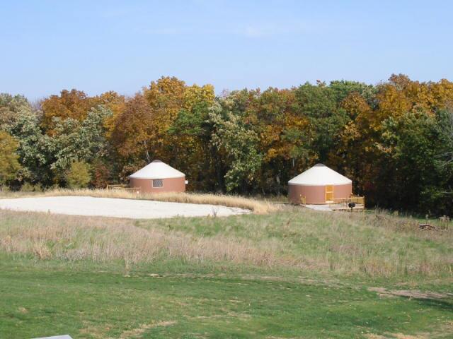
Camping/Cabins
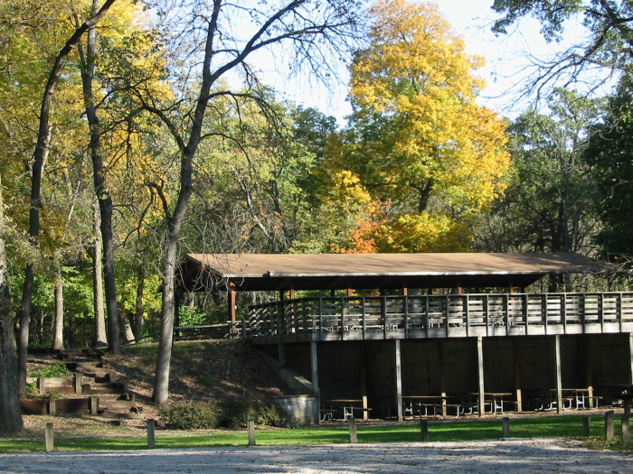
Parks & Facilities
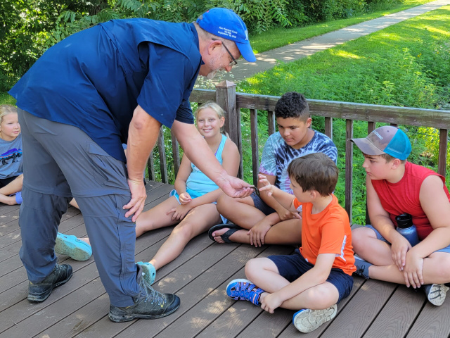
Education Programs
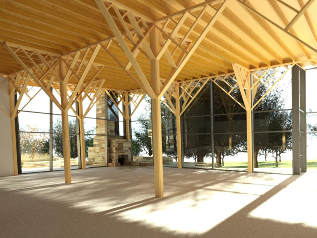
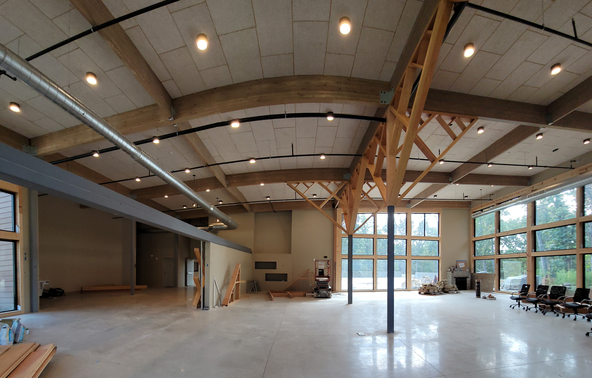
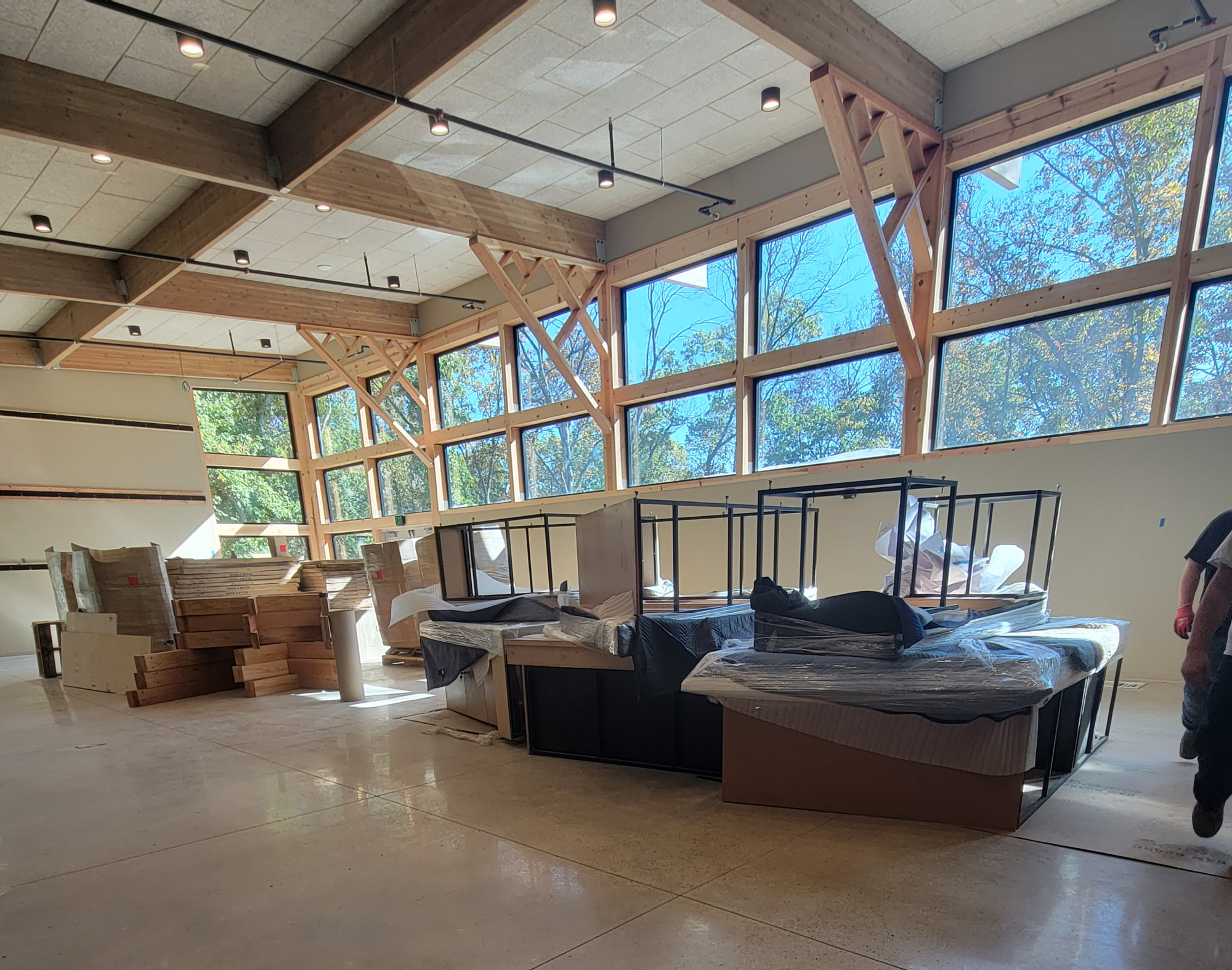
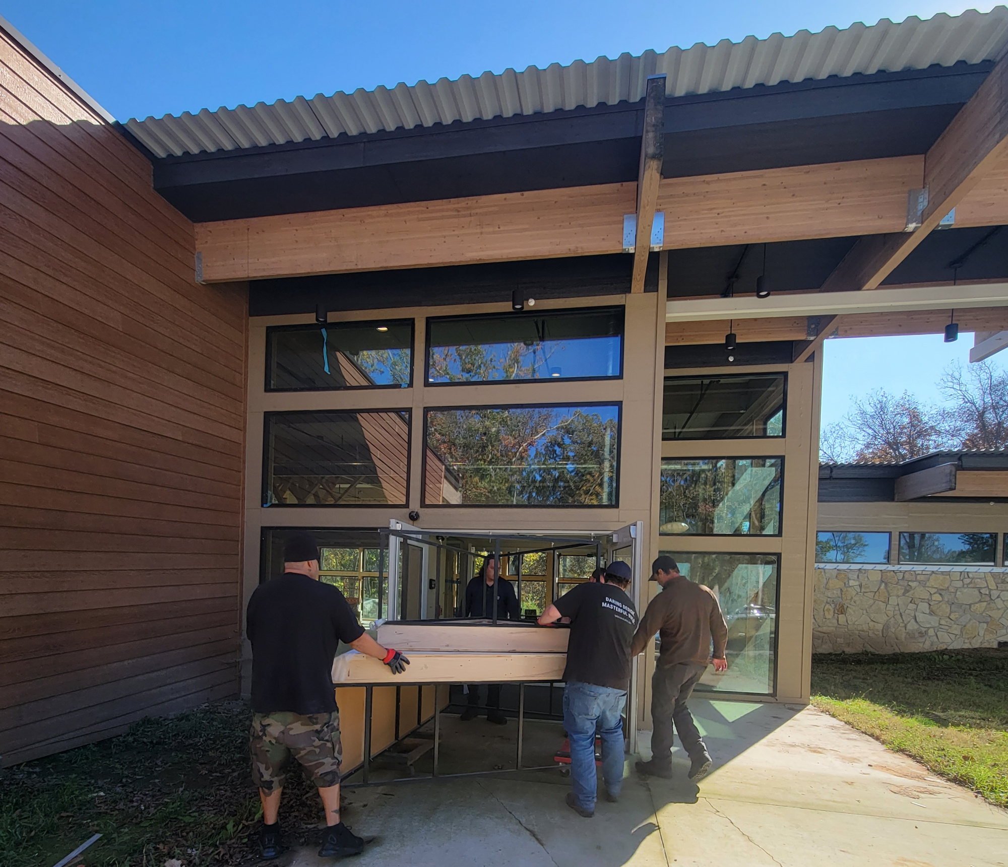
New Conservation Center
The Madison County Conservation Board welcomes you!
Madison County is teaming with wildlife and richly blessed with natural resources. We hope you have the opportunity to visit and enjoy the historic Covered Bridges, densely wooded river valleys, majestic limestone bluffs and gently rolling grasslands. The Madison County Conservation Board is responsible for managing our 17 County Parks that are located primarily in rural areas throughout the county. Recreational opportunities abound! Individual parks range from modern camping and shelter facilities to undeveloped natural areas. Handicapped accessible facilities are provided in nearly every park.
Special Events & Programs
Subscribe to the Old Oaks Blog and watch the events posted on our Madison County Conservation Board Facebook page for up-to-date information about environmental education programs, family outings, updates, photos and fun facts about Madison County and Iowa’s natural resources, plant and animals!
Our Natural Resources
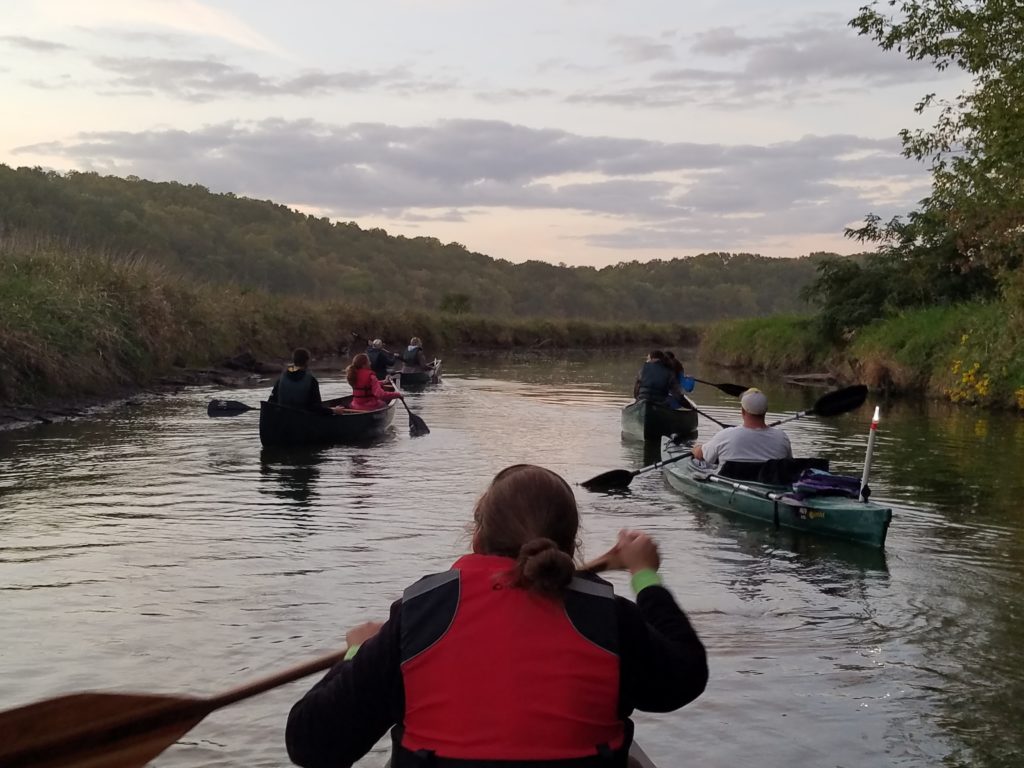
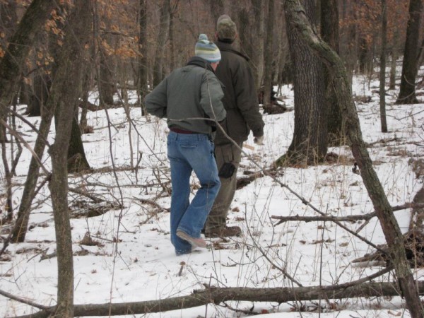
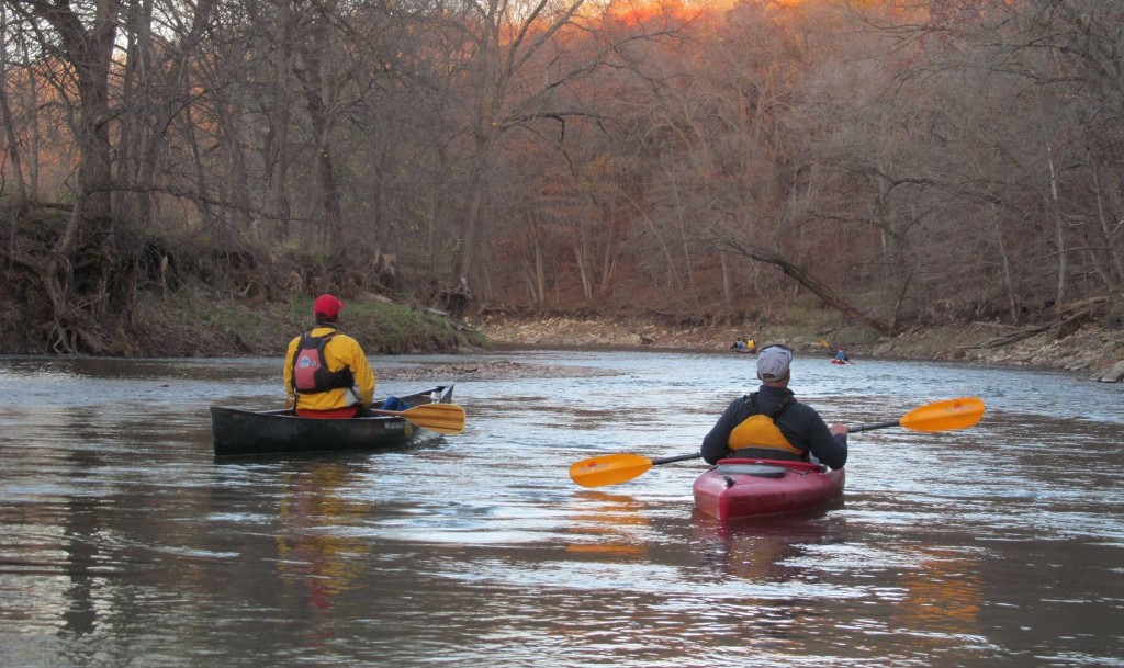
Four unique river systems meander through the County from west to east – North River, Middle River, Grand River and Clanton Creek. Catfish, Iowa’s most popular game fish, are readily caught in the rivers, not to mention the excellent pan fishing to be found in the numerous small reservoirs and hundreds of small privately owned farm ponds. The quality of deer, turkey, pheasant and other upland game hunting in Madison County is second to none. The majority of park land managed by the Conservation Board is designated as natural resource areas (open to hunting), which remain largely undeveloped to protect the integrity and quality of the woodlands, prairie, rivers, wetlands and wildlife found within the park boundaries.
Location & Access
Madison County is located in south-central Iowa. Our centralized County seat town of Winterset is located approximately 40 miles southwest of Des Moines. Public areas and historic features can be easily accessed from either Interstate 80 or Interstate 35. Madison County is also served by State Highway 92 and U.S. Highway 169 which conveniently meet at a crossroads in Winterset.